What does this mean for the future?

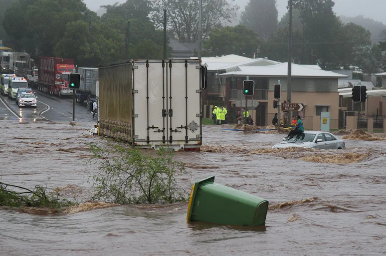
If you’ve ever been a victim of flooding after a serious storm or horrified watching video of people, homes and property being swept away, you’ll be pleased to learn that the U.S. National Aeronautics and Space Administration (NASA) has developed a new computer tool known as the Global Flood Monitoring System (GFMS), which maps flood conditions worldwide. Users anywhere in the world can access the system online to determine when flood waters might impact their communities.
“On our global interactive map, you can zoom into a location of interest to see whether the water is at flood stage, receding, or rising,” explains the University of Maryland’s Robert Adler, who developed the system with colleague Huan Wu. “You can also look around to see whether there is a rain event upstream, whether the rain is over, and how the water is moving downstream.”
GFMS works 24/7, even when there is cloud cover or other interference. "At times, our system might be the only way people can get information," says Adler.
Click here to read the full article and watch the video on how the GFMS works!